DRDO (Indian Defence) Inter IIT Tech Meet’23
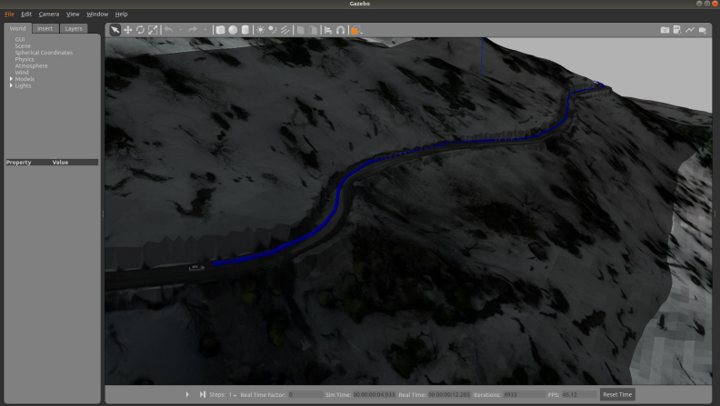
An unmanned aerial vehicle equipped with GPS and RGBD camera is supposed to survey a given terrain and guide an unmanned ground vehicle with no sensors. This requires the team to map the mountain road in the worlds using a UAV and guide a UGV through the area, navigating across various turns, altitudes, and depth of terrain under various constraints

